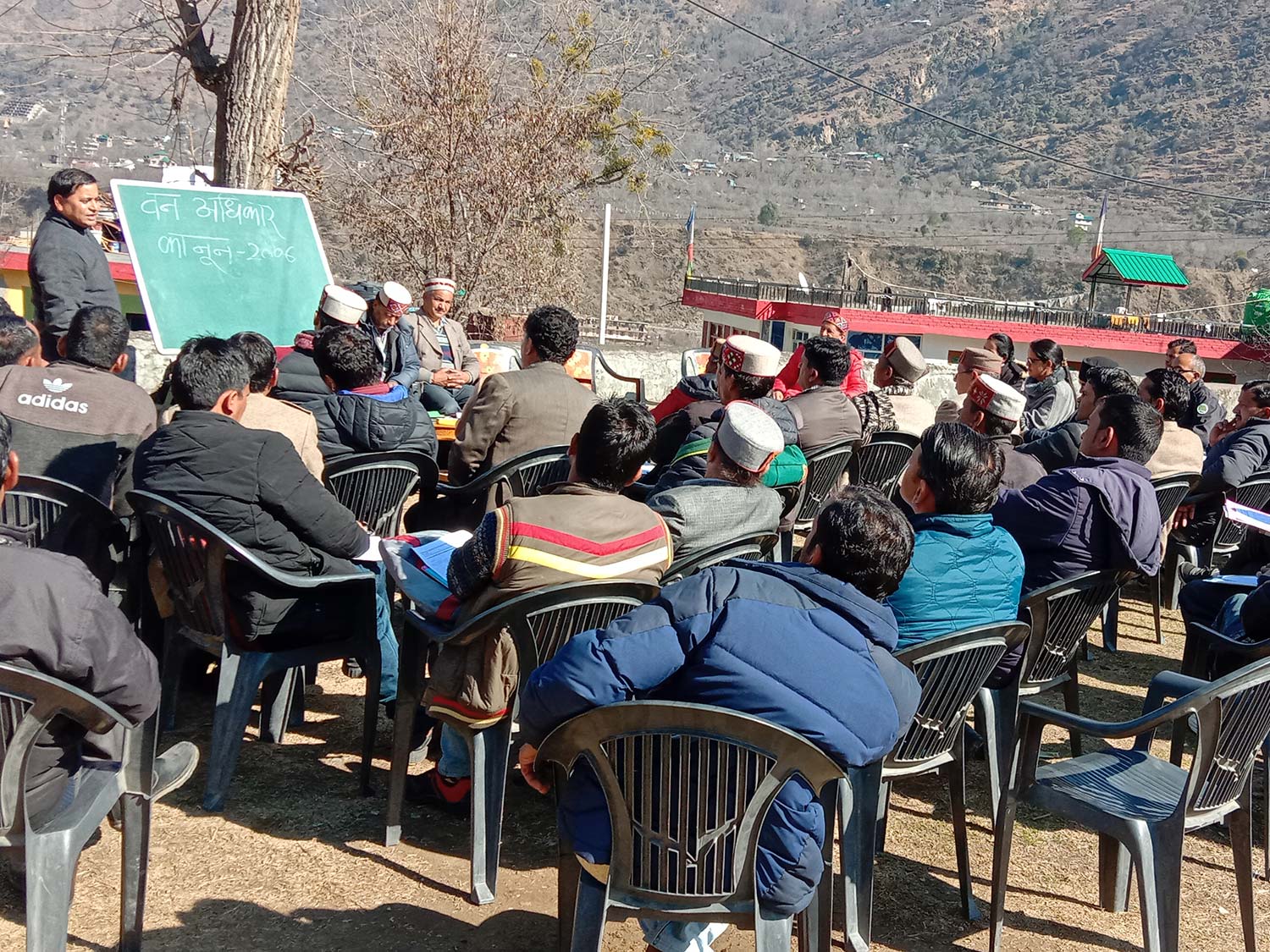
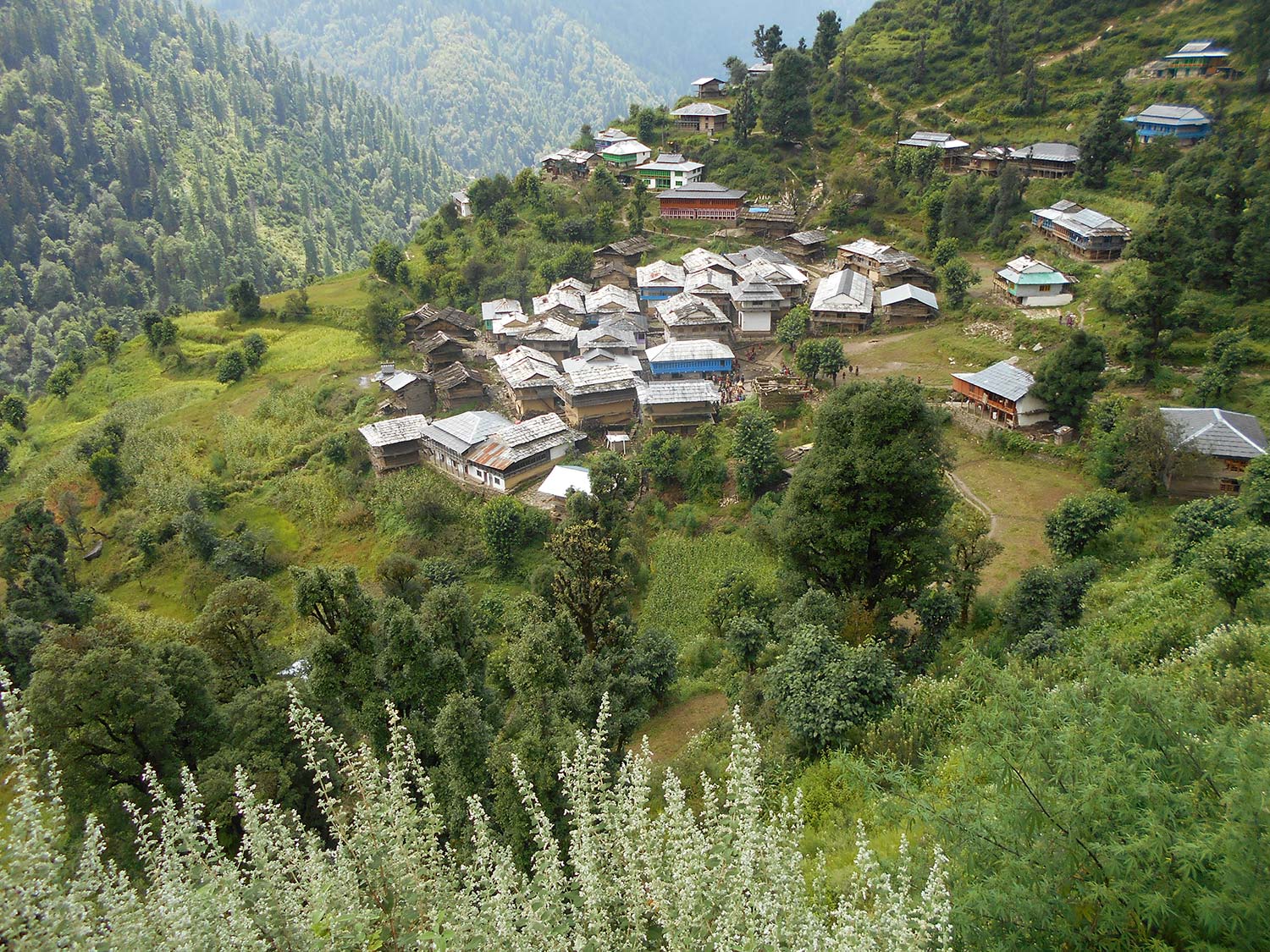
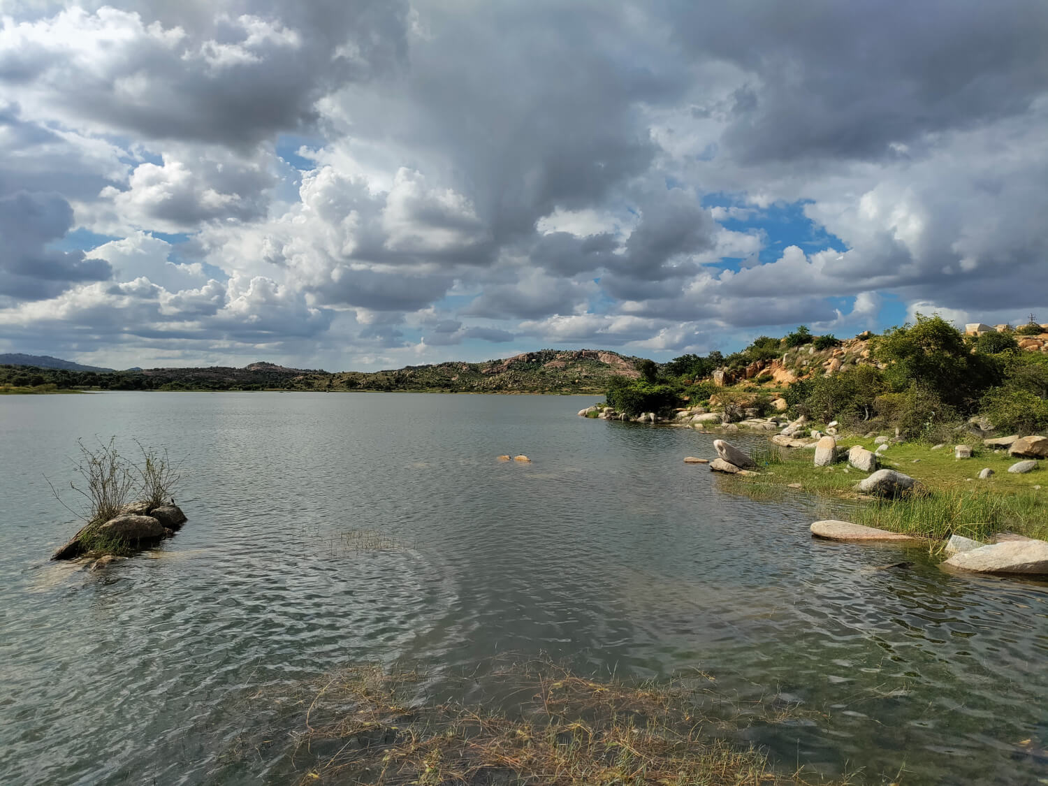
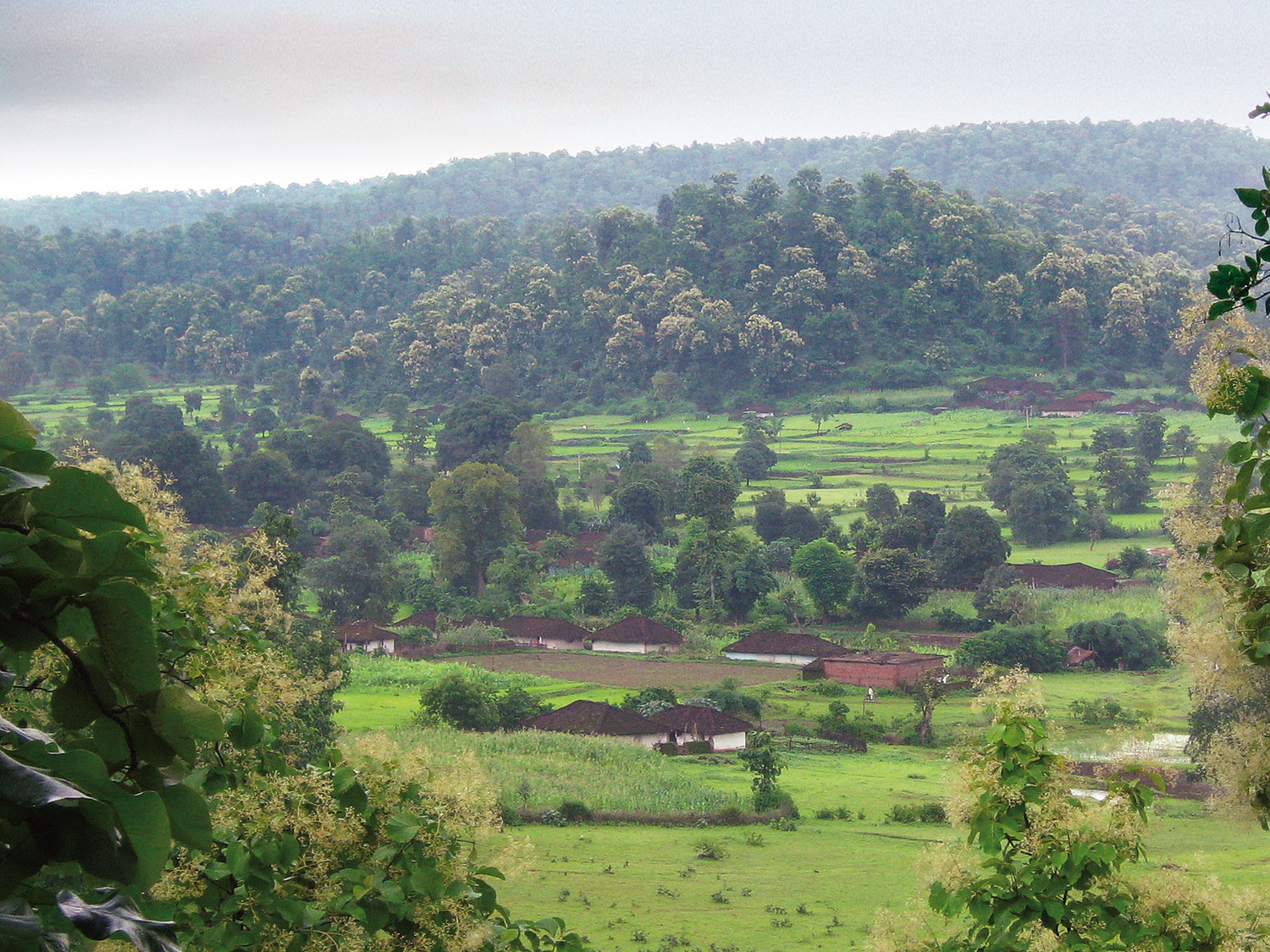
To whom do they belong, and what is our relationship with them?
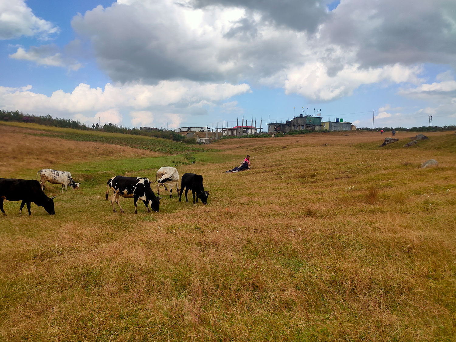
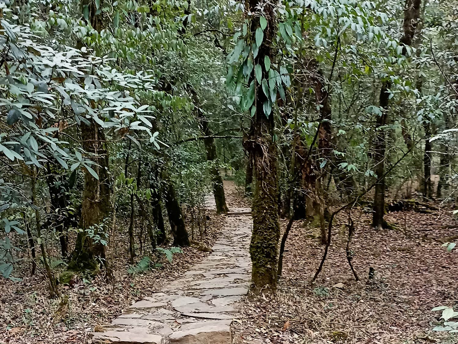
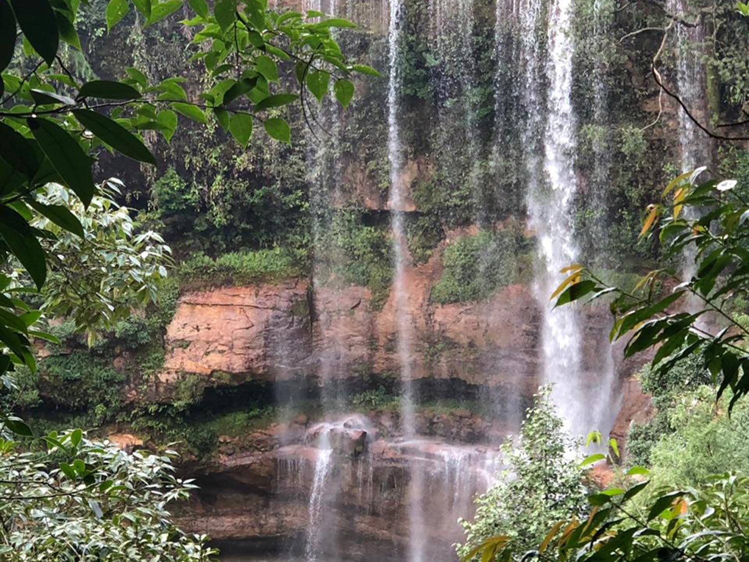
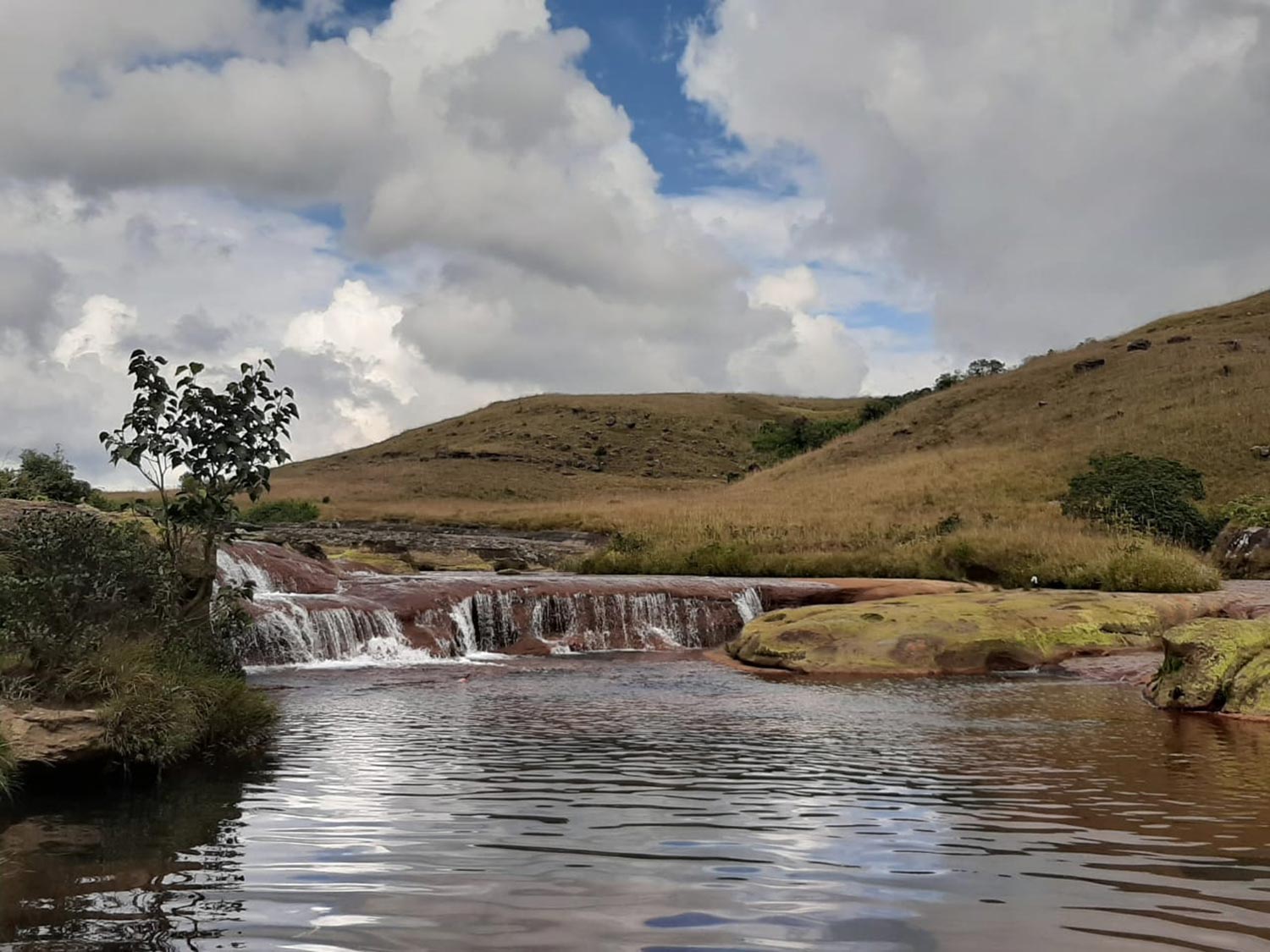
A mosaic of shared resources such as forests, parks, water bodies, indigenous knowledge, shared digital platforms together comprise Commons. They are accessed, used and managed by a group of people, via mutually evolved norms and rules, that acknowledge and usher the benefit of the group as a whole.
The idea of Commons is broad, its concept dynamic.
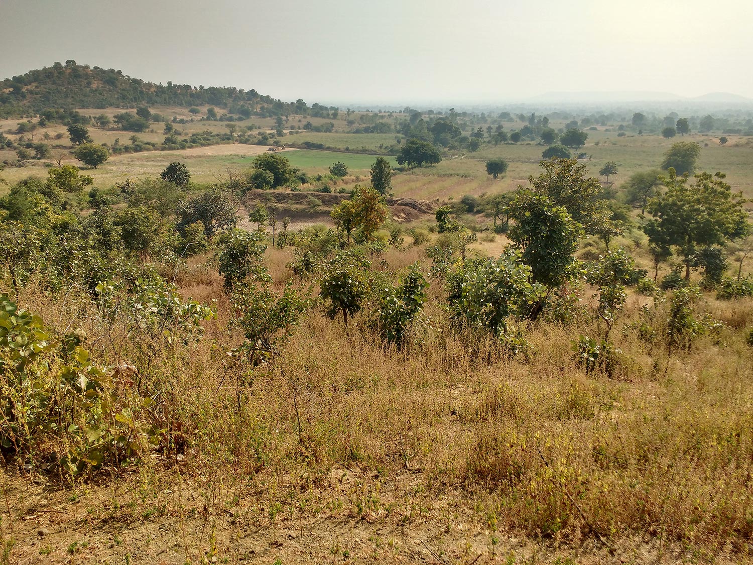
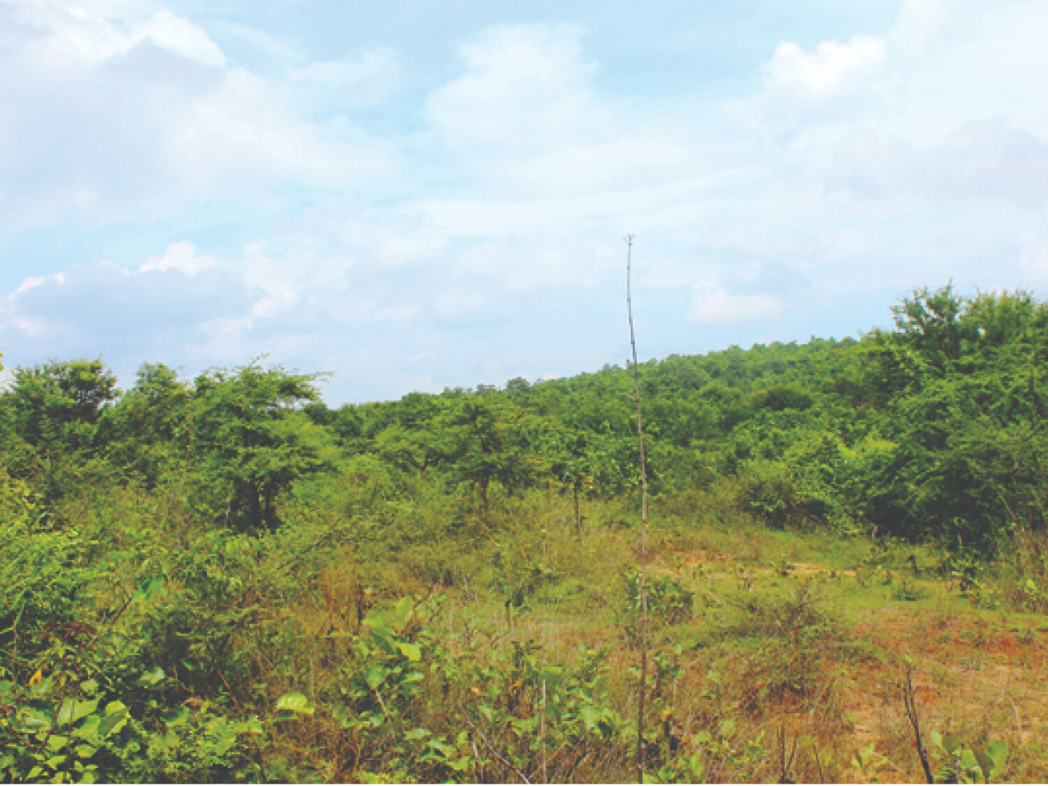
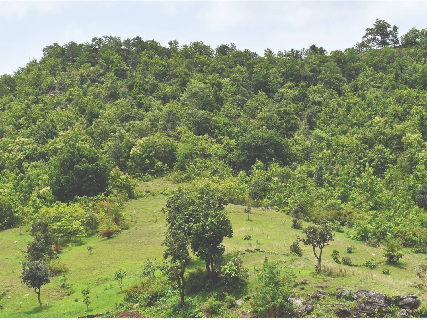
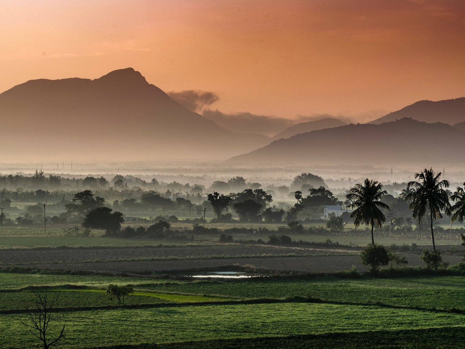
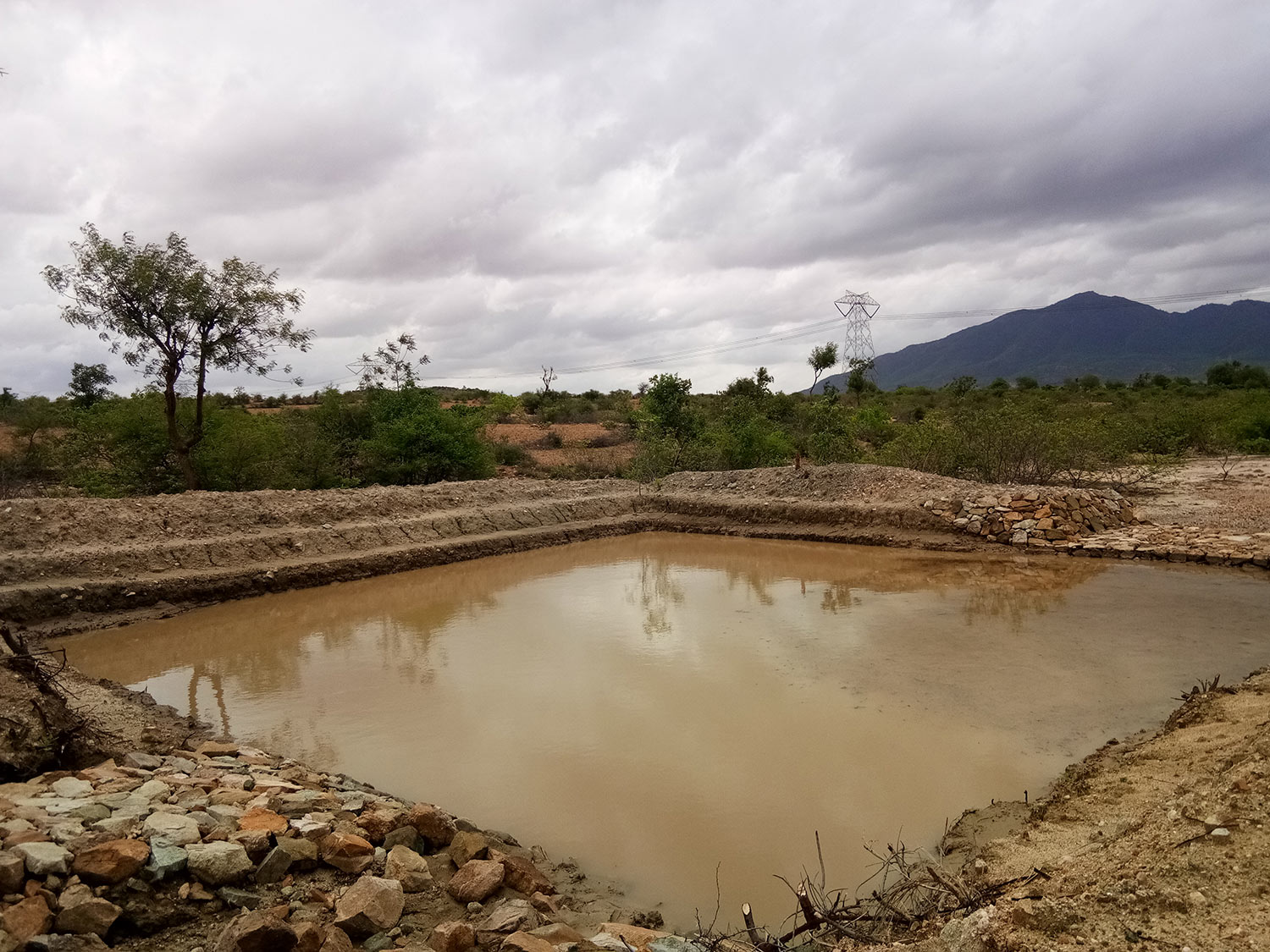
The Promise of Commons initiative focuses on natural resource-based Commons, such as forests, pastures, water bodies, irrigation systems, and groundwater sources sprawling across a quarter of the Indian subcontinent.
The National Sample Survey Organization (NSSO) in the 54th round of survey used the de jure approach to estimate the extent of Commons and de facto approach to estimate the dependence of communities on Commons (NSSO, 1998).
De Jure
- Resources where the right to its collective use is well-defined, and the rules that govern their use are set out clearly and followed universally.
- Includes resources which are within the boundary of the village and are formally (i.e. by legal sanction or official assignment) held by the village Panchayat or a community of the village.
- Lands classified as Barren and Un-cultivable Land Area, Permanent Pastures and Other Grazing Land Area, Land Under Miscellaneous Tree Crops etc. Area, and Culturable Waste Land Area in the Census Records could be defined as De jure Commons.
De facto
- Resources collectively used, regardless of the legal status of land.
- Includes uses that occur on state (revenue and forest) lands, as well as conventional (often seasonal) use of private lands.
- Lands classified as Forest Area, Barren and Un-cultivable Land Area, Permanent Pastures and Other Grazing Land Area, Land Under Miscellaneous Tree Crops etc. Area, Culturable Waste Land Area, and Fallow Land other than Current Fallows Area in the Census Records could be defined as De facto Commons.
COMMONS IN INDIA
Spread over 205 million acres, Commons are a source of food, fodder, water, medicine, firewood, and timber for 350 rural poor, and are fundamental to the sustenance of all the varieties of life that inhabit and access them. They provide a distinct social and cultural identity to rural communities, and guide the interactions between Nature and People. Commons provide critical ecosystem services that are vital to the viability, growth and resilience of rural livelihoods, more so in the face of the unfolding climate crisis.
Commons are spaces of the poor and for the poor. Women, landless and other disadvantaged groups are most critically dependent on Commons, and largely benefit from the economic opportunities that healthy Commons offer. Commons provide platforms for these groups to assert their voice, agency and power in using and governing these resources.
Yet, Commons are in rapid decline, at a rate of 2.5% per year. The ongoing loss and degradation of India’s Commons, accelerated by the unfolding climate crisis, contributes significantly to falling agricultural yields, increased costs of cultivation, depleted water tables, shrinking forests, and degradation of pastures.
The descent is cyclical: degraded Commons contribute to climate change, and impact the ability of ecosystems and dependent communities to withstand the increasing frequency of extreme climate events. The conflict over Commons has also increased, from what they are appropriated for, to the people that use them. Rural incomes are declining, inequality and distress migration are rising. Of those that are marginalised, women especially, are deeply affected.
Facts & Figures
1/4
of India’s landmass, 205 million acres, is covered by Commons
USD 90 billion
is the estimated total economic value of ecosystem services provided by Commons
350 million
rural poor in India are dependent on Commons
This is 3.6% of the GDP,
though unaccounted!
77%
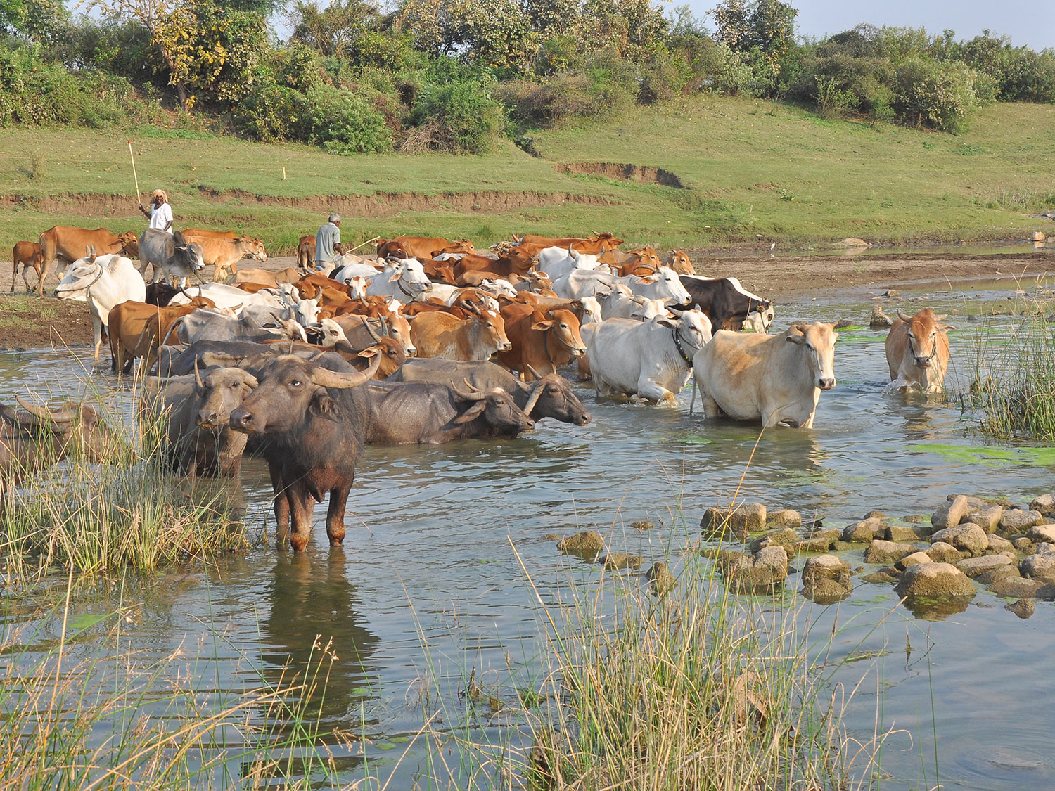
of India’s livestock depend on Commons
40-60% of annual earnings of tribal communities is from forest produce, most of it being collected by women
COMMONS' CONTRIBUTION TO SUSTAINABLE DEVELOPMENT GOALS




Facts & Figures
1/4
of India’s landmass, 205 million acres, is covered by Commons
Commons provide 34 types of ecosystem services & have an estimated total economic value of USD 90 billion (INR 7.2 lakh crore)
350 million
rural poor in India are dependent on Commons
This is 3.6% of the GDP though unaccounted!
77%
of India’s livestock depend on Commons
40-60% of annual earnings of tribal communities is from forest produce, most of it being collected by women
COMMONS IN DIFFERENT STATES
Commons are deeply meaningful to the communities that use them. For tribal populations across India, every swatch of forest is named, after a deity, a tree, the region’s most prominent hillock or valley. Their relationship with the land they inhabit and its resources is intricate and all-embracing.
Andhra Pradesh
Bihar
Chhattisgarh
Gujarat
Himachal Pradesh
Karnataka
Madhya Pradesh
Maharashtra
Meghalaya
Odisha
Rajasthan
Tamil Nadu
Telangana
Uttar Pradesh
Uttarakhand


Maharashtra
Local Names
Devrai (sacred groves), Van (forests), Gairan and Kuran (grazing lands), Nadi (rivers), Naala (streams), Talaav (ponds) – are the different types of Commons across the state of Maharashtra.
Facts & Figures
- 7-18 million acres
- 10-24% of the geographical area of the state


Meghalaya
Local Names
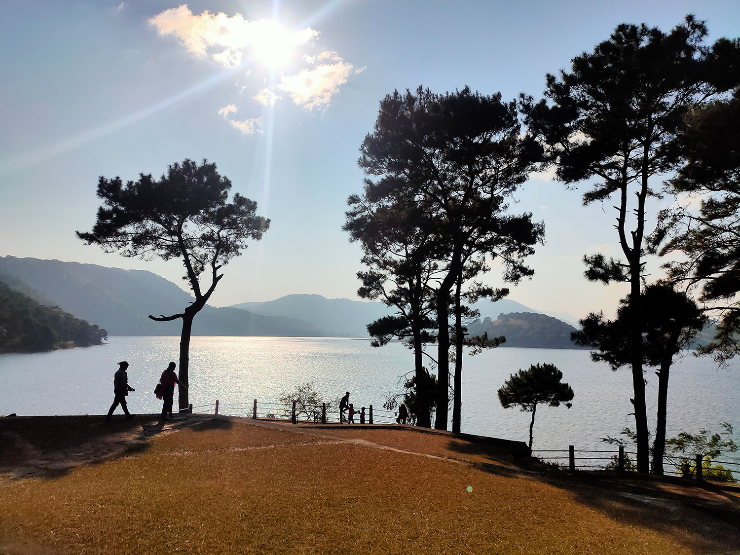
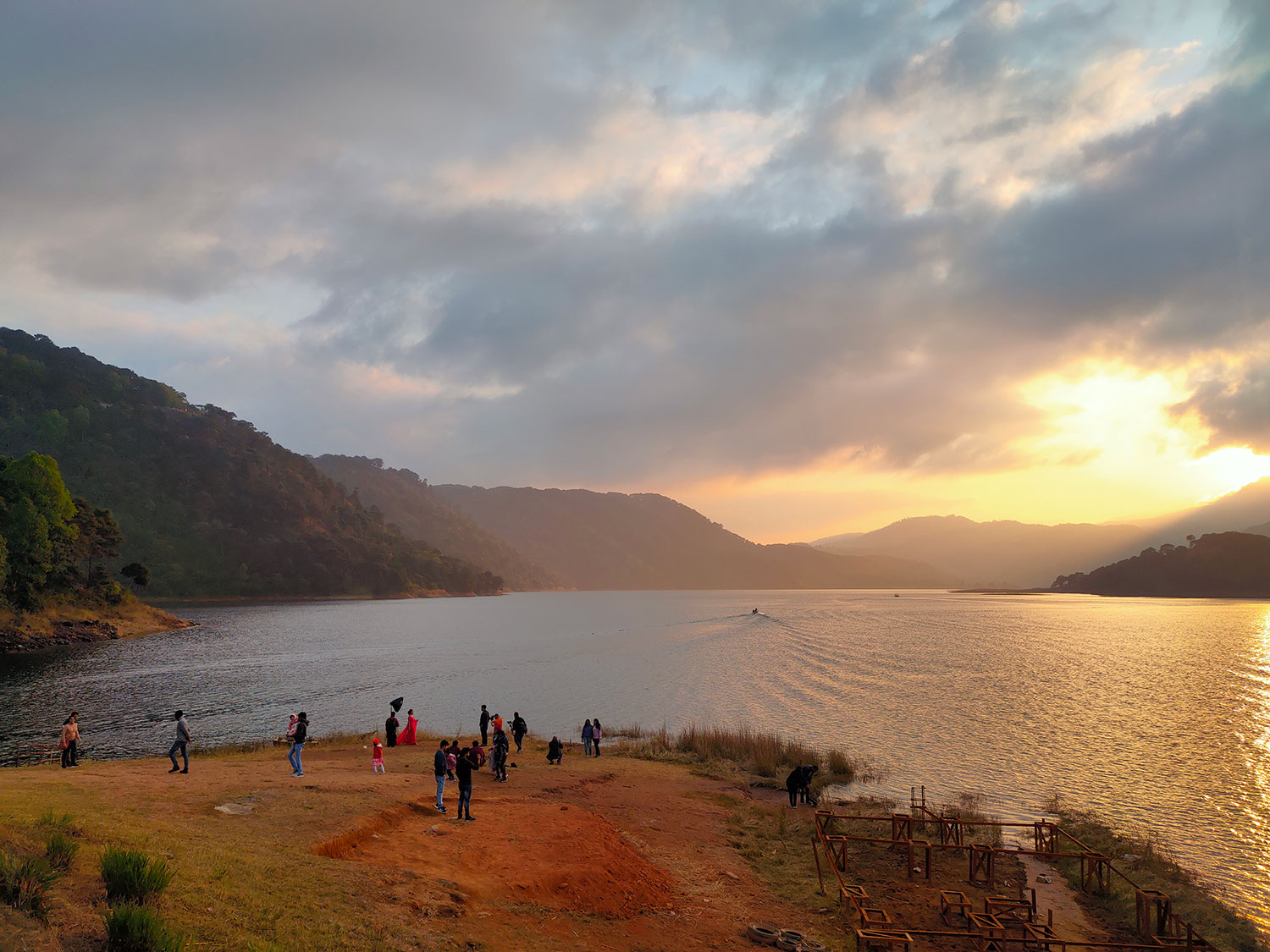
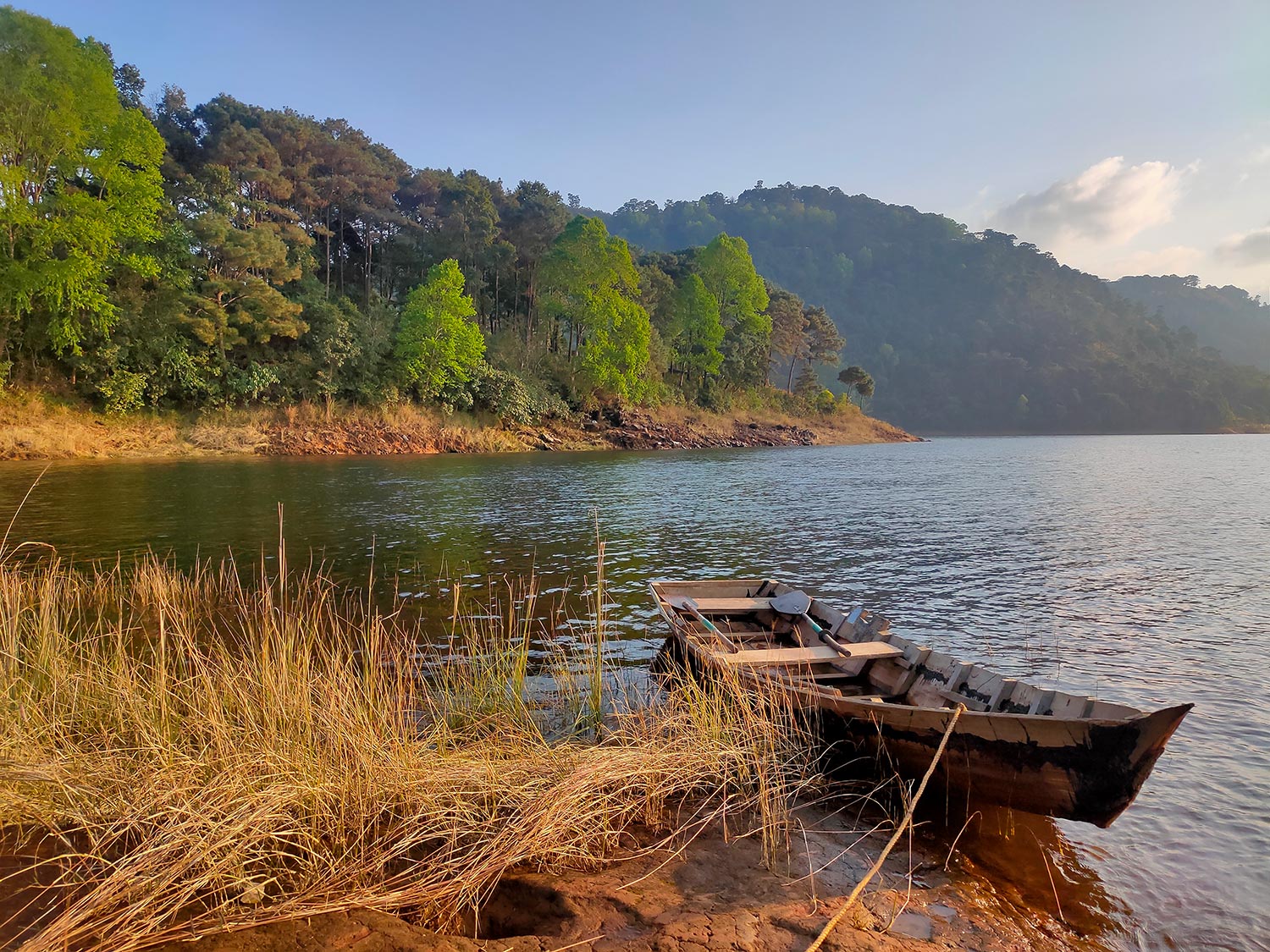
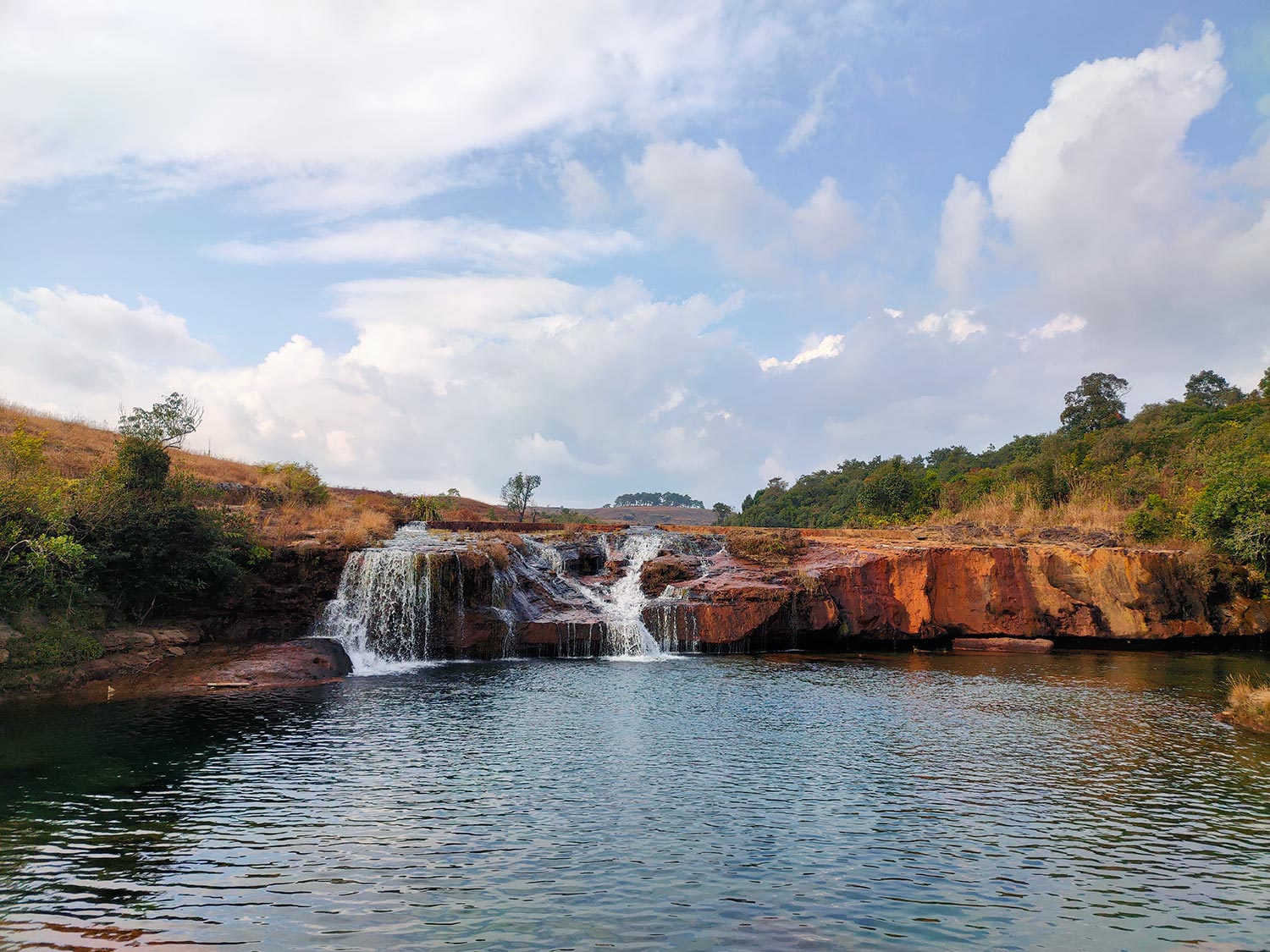
Sacred Groves (tracts of virgin forests protected by the region’s tribes, based on indigenous knowledge, culture and religious beliefs) – are the types of Commons across the state of Meghalaya.
Facts & Figures

Odisha
Local Names
Sarbasadharan and Samuhika (broadly Commons), Gochar (grazing land), Tota and Bagayat (village orchards), Chatar, Pokhari, Pata, Mahara (all refer to water commons), Chhot jungle, Jhaad jungle, Anabadi, and Taila* (all refer to forest lands) – are the different types of Commons across the state of Odisha.
*Taila can be private as well.
Facts & Figures
- 5-12 million acres
- 15-32% of the geographical area of the state

Rajasthan
Local Names
Shamlat/ Samudayik Bhoomi (broadly Commons), Orans and Banni (sacred spaces), Goucher, Charagah and Charnot (all refer to pasture/ grazing lands) Junglaat (forests), Kankad and Mangra (hillocks), Sawai Chak (culturable wastelands), Talaab, Johad and Naadi (ponds and tanks), Anicut (check dams), Nadi (rivers), Naala (drainage lines), Dhora (water channels), Bhujal (groundwater) – are the different types of Commons across the state of Rajasthan.
Facts & Figures
- 17-29 million acres
- 21-35% of geographical area of the state

Tamil Nadu
Local Names
Puramboke/ Puram Pokku (a bypass or land by the wayside in community usage) – are the different types of Commons across the state of Tamil Nadu.
Facts & Figures
- 2-10 million acres
- 7-32% of the geographical area of the state

Telangana
Local Names
Poramboku and Goutana lands (“wastelands”), Cheruvu Shikham (tank bed lands), Inam lands (lands allocated to communities engaged in traditional occupations such as carpenters, potters), Ceiling lands (which were recovered by the government from zamindars in the past – are the different types of Commons across the state of Telangana.
Facts & Figures
- 1-4 million acres
- 13-39% of the geographical area of the state

Uttar Pradesh
Local Names
Aapchak (pathways shared by few households in old mohallas), Jungle (forests), Charagah/ Goucher (grazing lands) Nadi and Naala (rivers and streams), Talaab (tanks and ponds), Bhujal (groundwater), Maidaan (open grounds), Gair Majurva and Aam Gair Majurva (community lands) – are the different types of Commons across the state of Uttar Pradesh.
Facts & Figures
- 3-7 million acres
- 6-13% of the geographical area of the state

Uttarakhand
Local Names
Swayam Bhoomi (community lands), Naula (natural source of water or well) – are the different types of Commons across the state of Uttarakhand.
Facts & Figures
- 1-5 million acres
- 13-41% of the geographical area of the state

Andhra Pradesh
Local Names
Kondalu or Guttalu (hillocks), Banjaru Bhumulu (revenue wastelands), Topulu (orchards and gardens), Adavulu (forests), and Metha Bhumulu or Pachhika Bayalu (grazing lands), Cheruvulu and Kuntalu (irrigation tanks), Vankalu and Vaagulu (streams), Bhoogarba Jalalu (groundwater) – are the different types of Commons across the state of Andhra Pradesh.
Facts & Figures
- 2-4 million acres
- 15-30% of the geographical area of the state

Bihar
Local Names
Ahar Pynes (traditional floodwater harvesting systems), Ahars (reservoirs built at the end of drainage lines), Pynes (diversion channels led off from the river for irrigation), Aapchak (pathways shared by few households in old mohallas), Jungle (forests), Charagah/ Goucher (grazing lands) Nadi and Naala (rivers and streams), Talaab and Pokhar (tanks and ponds), Bhujal (groundwater), Maidaan (open grounds), Gair Majurva and Aam Gair Majurva (community lands) – are the different types of Commons across the state of Bihar.
Facts & Figures
- 1-3 million acres
- 8-14% of the geographical area of the state

Chhattisgarh
Local Names
Chhote Jhaad ke Jungle, Bade Jhaad ke Jungle, Jungle Khurd, Jungle Janla, Sarna, Karat, Jhupdi Jungle, Nistar Jungle (all refer to different types of forest/ revenue lands), Gauchar and Charai (grazing land), Gothan (rest areas for cattle), Thokan (places where cattle are collected in the village), Dhhodhi (small wells for drinking water), Pokhar (ponds), Naruva (lower order drainage lines), Chhuikhadan (quarries of black soil and red-yellow soil used for artisanal mining), Bhata (fallow lands), Badla (hilly area), Sarna Sthal (sacred groves), Karsaadi Sthal (lands identified in villages or forests to hold large prayer meetings and ceremonies), Kadab (threshing grounds) – are the different types of Commons across the state of Chhattisgarh.
Facts & Figures
- 3-9 million acres
- 11-28% of the geographical area of the state

Gujarat
Local Names
Khala (a common place for post-harvest activities), Bhaatho (degraded land), Padtar Jamin (fallow land), Kotar (ravines), Dungral Vistar (hilly areas), Orans (sacred groves), Talav (ponds), Nadi Nala (drainage lines), Vaanga (wider drainage lines), Khaaro Paat (lands with high salinity), Charyan and Gauchar (grazing lands) – are the different types of Commons across the state of Gujarat.
Facts & Figures
- 7-11 million acres
- 16-23% of the geographical area of the state


Himachal Pradesh
Local Names
Debvan (sacred groves), Charagah Darakhtan and Charagah Bila Darakhtan (grazing lands), Shamlat Deh (community lands), Gair Mumkin Khad (water courses), Gair Mumkin Rasta (roads), Gair Mumkin Gohar (ponds), Kul (an ancient irrigation system of channels that carries water from glacier to village) – are the different types of Commons across the state of Himachal Pradesh.
Facts & Figures
- 4-7 million acres
- 32-54% of the geographical area of the state

Karnataka
Local Names
Gomala, Gundu Thopu, Hullu Banni, and Banjaru Bhoomi (grazing and nomad lands), Aranya/ Kaadu (forests), Devkaad (sacred groves), Gudda (hillocks), Kere (tanks), and Kaluve (streams), Antarjala (groundwater) – are the different types of Commons across the state of Karnataka.
Facts & Figures
- 5-13 million acres
- 12-28% of the geographical area of the state

Madhya Pradesh
Local Names
Chhote Jhaad ke Jungle, Bade Jhaad ke Jungle, Jungle Khurd, Jungle Janla, Sarna, Karat, Jhupdi Jungle, Nistar Jungle (all refer to different types of forest/ revenue lands), Sharana, Sarna Sthal, Devsthali and Devkot (sacred groves), Gauchar and Charai (grazing land), Gothan (rest areas for cattle), Thokan (places where cattle are collected in the village), Dhhodhi (small wells for drinking water), Pokhar (ponds), Naruva (lower order drainage lines), Chhuikhadan (quarries of black soil and red-yellow soil used for artisanal mining), Bhata (fallow lands), Badla (hilly area), Karsaadi Sthal (lands identified in villages or forests to hold large prayer meetings and ceremonies), Kadab (threshing grounds) – are the different types of Commons across the state of Madhya Pradesh.
Facts & Figures
- 9-20 million acres
- 12-27% of the geographical area of the state


Maharashtra
Local Names
Devrai (sacred groves), Van (forests), Gairan and Kuran (grazing lands), Nadi (rivers), Naala (streams), Talaav (ponds) – are the different types of Commons across the state of Maharashtra.
Facts & Figures
- 7-18 million acres
- 10-24% of the geographical area of the state